Supported Symbology
Bridge uses the Python bridgestyle library to export QGIS symbology into other formats such as SLD (used when uploading to GeoServer), MapServer files, or Mapbox GL.
Below you can find a list of supported elements that should be correctly converted from QGIS to SLD, along with additional information about the limitations of the conversion between these two formats.
Common settings
This section describes general elements that are common to most types of layers and symbologies.
Drawing order (symbol levels)
You can use symbol levels in QGIS to define the order in which to render the symbol layers, which should be correctly converted to z-levels in SLD.
Size units
Size values can be used in millimeters, pixels, points, or real world meters. In this last case, expressions cannot be used, only fixed values.
However, please note that it's safer to use pixels instead of millimeters (which are the default unit in QGIS), since pixel is the assumed unit for formats like SLD, so no conversion is needed.
Expressions
Expressions are supported wherever QGIS allows to use data-defined values. They must be created using QGIS expression language (Python custom functions are not supported). Not all available functions in QGIS can be used, since there's no equivalent for all of them in GeoServer. The following QGIS functions can be used:
radians, degrees, floor, ceil, area, buffer, centroid,
if, bounds, distance, convex_hull, end_point, start_point,
x, y, concat, substr, lower, upper, replace, exterior_ring,
intersects, overlaps, touches, within, relates, crosses,
disjoint, geom_from_wkt, perimeter, union, acos, asin, atan,
atan2, sin, cos, tan, ln, title, translate, min, max,
to_int, to_real, to_string
Some function parameters accept expressions, but this is not always supported by Bridge when converting to SLD. This applies to the following parameter types:
- Colors
- Parameters selected from drop down lists
- Offset values
- Size measures in units different than pixels or mm (i.e. if you are using map units relative to the current map scale)
Blending modes
Blending modes are supported at the layer level.
Vector Layers
The supported elements for styling vector layers are described below.
Supported renderers
The following renderers are supported for vector layers:
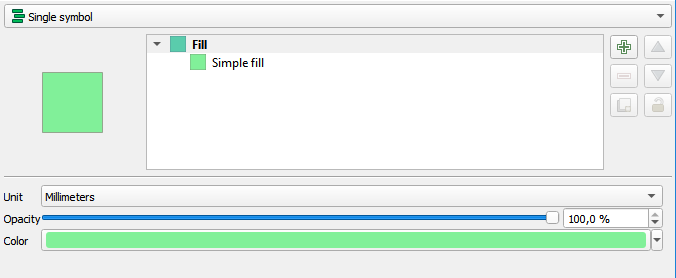
Single symbol
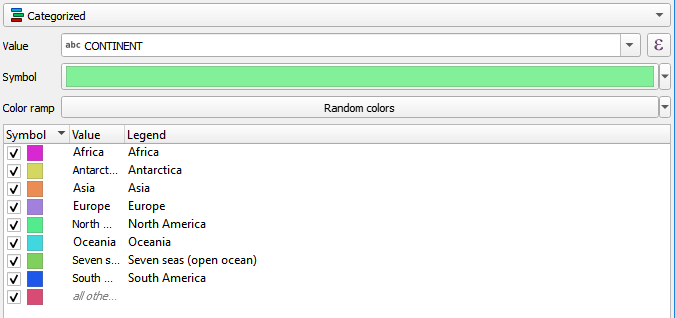
Categorized
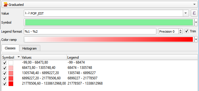
Graduated
Heatmap
The following limitations apply:
- Radius must be expressed in pixels
- Expressions are not supported for the
weightparameter
Rule-based
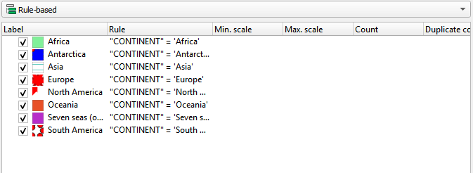
Nested rules are supported. The ELSE rule is also supported, but it might behave incorrectly in the SLD version if the layer has labeling.
QGIS considers labeling to be a separate part of the symbology, while SLD considers it as just another symbolizer.
To find out more about the supported expressions that can be used in rule filters, see the Expressions section.
Supported point symbology
The following symbol layer types are supported for rendering points:
Simple marker
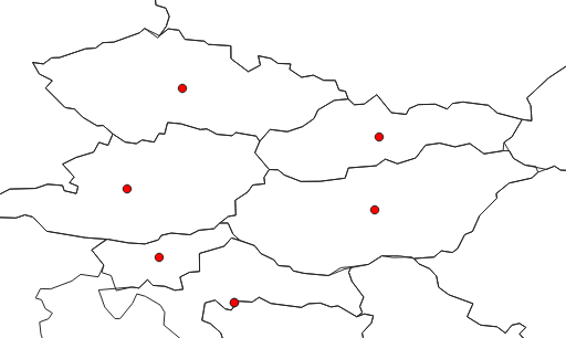
Below is a list of the parameters that are supported:
- Size
- Fill Color
- Stroke Color
- Stroke style
- Stroke width
- Join style
- Rotation
- Offset
SVG marker
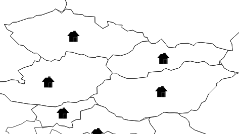
Below is a list of the parameters that are supported:
- Size
- Fill Color
- Stroke Color
- Stroke width
- Rotation
- Offset
- SVG image
Raster image marker
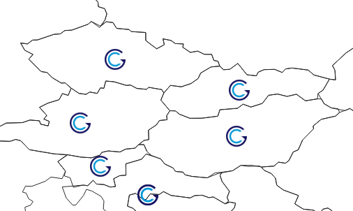
Below is a list of the parameters that are supported:
- Size
- Rotation
- File
Font marker
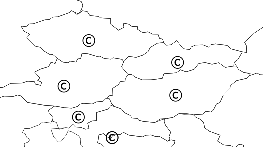
Below is a list of the parameters that are supported:
- Size
- Fill Color
- Font
Geometry generator
Supported line symbology
The following symbol layer types are supported for rendering lines:
Simple line
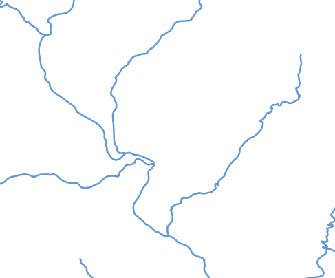
Below is a list of the parameters that are supported:
- Color
- Stroke width
- Stroke style
- Join style
- Cap style
- Offset
Marker line
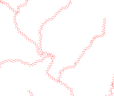
Below is a list of the parameters that are supported:
- Marker placement: only
with intervalmode is supported - Offset along line
As marker, you can use simple markers, SVG markers and raster image markers, with the restrictions mentioned in the corresponding section about supported symbology for point symbols.
Geometry generator
Supported polygon symbology
The following symbol layer types are supported for rendering polygons:
Simple fill
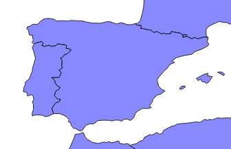
Below is a list of the parameters that are supported:
- Size
- Fill Color
- Fill style: only
solid, no brush, horizontal, vertical, cross - Stroke Color
- Stroke style
- Stroke width
- Join style
- Rotation
Point pattern fill
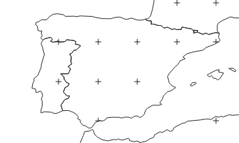
Below is a list of the parameters that are supported:
- Horizontal distance
- Vertical distance
As marker, you can use simple markers, SVG markers and raster image markers, with the restrictions mentioned in the corresponding section about supported symbology for point symbols.
Line pattern fill
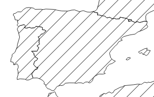
Below is a list of the parameters that are supported:
- Rotation: Angle will be rounded to a multiple of 45 degrees
- Spacing
Outline: Simple line
See the section on supported symbology for simple lines
Outline: Marker line
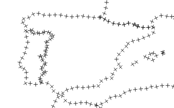
See the section on supported symbology for marker lines
Geometry generator
Labeling
The following labeling modes are supported for vector layer labels.
- No labels
- Single labels
- Rule-based labeling
Text options
The following options from the Text group of parameters are supported:
- Size
- Font family
- Rotation
Buffer options
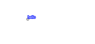
The following options from the Buffer group of parameters are supported:
- Size
- Color
- Opacity
Background options
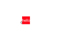
The following options from the Background group of parameters are supported:
- Size X
- Size Y
- Size type
- Shape type
- Stroke color
- Fill color
Placement options
The only supported Placement option is Offset from centroid, using the following parameters
- Quadrant
- Offset
- Rotation
Raster Layers
The supported elements for styling raster layers are detailed in this section.
Supported renderers
- Single band gray
- Single band color
- Single band pseudo color
- Multi-band color
- Paletted